
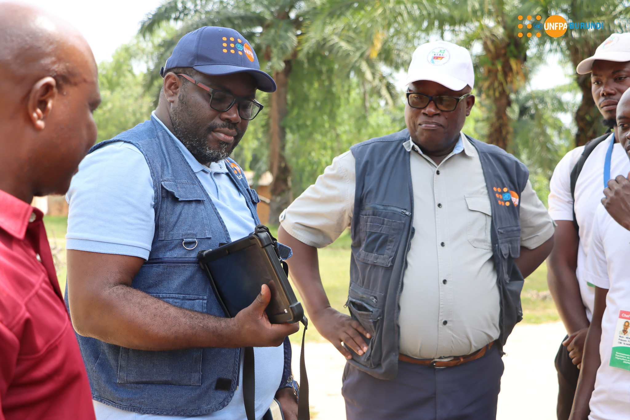
From 13th to 16th May 2024, a team from UNFPA, the lead agency of the technical and financial partners of the Central Bureau of Census (BCR), had a field visit to the provinces of Rumonge and Makamba. This was part of a supervision mission for the completion of the cartographic data collection. The UNFPA Resident Representative expressed his gratitude to the chairmen of the provincial and communal census committees (CPR and CCR) of the visited localities, for their contribution to the success of the cartographic data collection work. He called on consolidating the ongoing efforts for the continued population mobilization to ensure the success of the crucial phase for the soon-to-be census enumeration stage.
Census mapping is an operation that consists of listing all inhabited sites, delimiting and cutting out the enumeration areas or zones, achieving coverage of the entire territory without omission or double counting, assessing the planning of field staff and logistics in order to draw up the census maps essential for carrying out the main enumeration.
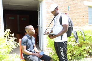
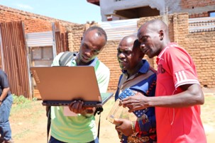
To carry out this work successfully, the Central Bureau of Census (BCR) deployed 723 people throughout the national territory, composed of 21 supervisors, 21 ICT assistants, 116 team leaders and 565 field cartographers. Their mission was to list all inhabited sites, delimit and divide the enumeration zones, in order to cover the entire territory without omission or double counting. “The work wasn't easy,” says engineer CIZA, one of the team leaders of the Rumonge supervision zone. “During these past five months, we visited every inhabited house in urban neighborhoods, valleys and mountains located nearby and far away to carry out this mapping. We were well received by the population and the chiefs of the hills that we visited despite the challenges we encountered, notably with some of the chiefs who did not master the limits of their hills. But in collaboration with the communal authorities, we were able to resolve these conflicts peacefully. We thank UNFPA for its technical expertise,” says engineer Ciza.
As for Abdoul Ntiranyibagira, Chief of Staff to the Governor of Rumonge, he is satisfied with the work already accomplished: “The population has already understood the value of the mapping work and has responded well to the questions asked by the cartographers. This is a good process, because we cannot achieve the vision of an emerging Burundi in 2040 and a developed Burundi in 2060 without any conclusive evidence”, he says. He added that this field trip with UNFPA had enabled him to discover how a boundary dispute between two newly created hills created by the national commission in charge of the new territory division in the Gatete and Buruhukiro zones in Rumonge province had been resolved. For his part, Judicaël Elidje, Resident Representative of UNFPA Burundi, noted with satisfaction the progress of the mapping work. “As a whole, the cartographic data have been well collected”, he noted with satisfaction, while promising that UNFPA remains committed to its role of technical assistance for data quality assurance at both global and Burundian levels and will continue to support the Government in this endeavor.
UNFPA has already supported several data collection initiatives and all censuses carried out in Burundi. Through the Central Bureau of Census (BCR), UNFPA has supported the pilot census mapping, including the training of cartographers, the purchase of tablets and other equipment for their use both in the office and in the field. It should also be noted that the main enumeration of the Population, Housing, Agriculture and Livestock Census is scheduled from August 16 to September 6, 2024. The BCR is currently preparing for the launch of online and cascade recruitment of enumeration staff, followed by staff training, starting with the training of supervisors (INSBU, MINEAGRI, IGEBU), which begins on June 7.
By Chirac Mugisha